

Know your ground.
Property lines, owner names, public land and hunting units on one map for iPhone. Save your area before you go, and it keeps working with no signal.
Free. No account. No subscription. Coming soon to the App Store.
Where ownership data comes from
Get the lay of the land.
The details you need to plan ahead, and the tools you want when you get there.
-
Property lines and owners
Parcels and owner names from public state and county records. Tap anywhere for owner, acreage and parcel number.
-
Public land and hunting units
Federal and state land coloured by agency, big-game units, and walk-in access areas from state wildlife agencies.
-
Works without signal
Save map areas before you go, and download a whole state's property lines for offline ownership.
-
Waypoints, lines and tracks
Drop waypoints with photos and notes, draw and measure, and record tracks with the screen locked.
-
Shared Map
See your group's positions and shared waypoints, encrypted on the phone before they leave it.
-
Sharp aerial imagery
Satellite and topo maps from the USGS, with sharper state imagery when you zoom in close.
Property lines and owner names come from public state and county records. They can be out of date, and lines are approximate, not a survey. Public land or an access program doesn't by itself give you permission to hunt. Check your state's regulations and ask the landowner.
Made for time in the field.
Plan at home. Take it with you.
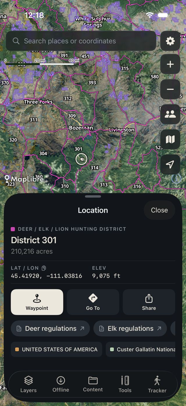
A tap tells you more
Find hunting districts, coordinates and elevation right on the map.
- District
- 301
- Area
- 210,216 ac
- Elevation
- 9,075 ft
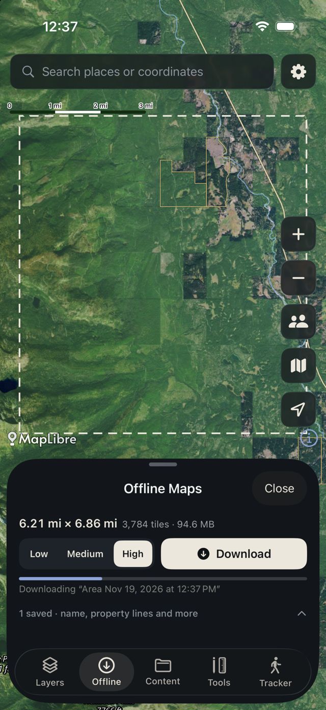
Go beyond the signal
Download your area before you leave, and bring the map along.
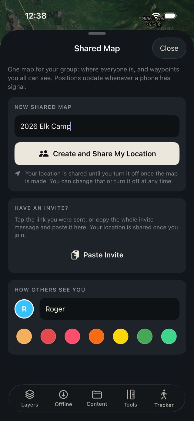
Keep your group close
Share a map with your group and choose when to share your location.
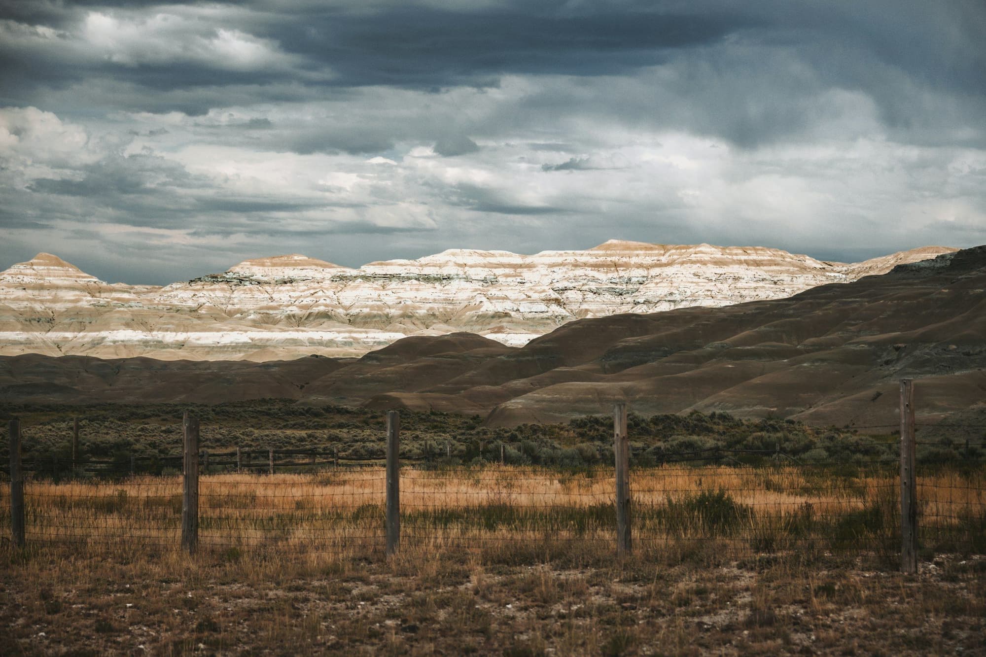
Save it before you go.
Download your area before you leave. The map keeps working with no signal.
Free. No account. No ads.
Boundary puts property lines, public land and hunting units on one map, works without signal, and keeps what you save on your phone. It's free, with no account, no subscription and no ads.